
Dam Owner: CONSOLIDATED POWER
Mileage Marker: 190
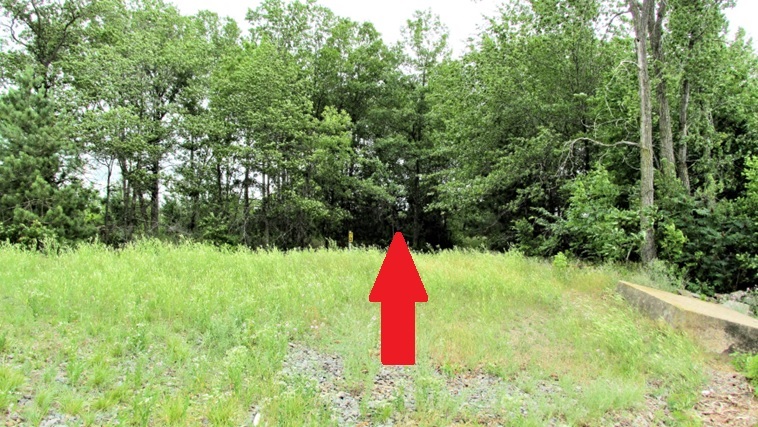
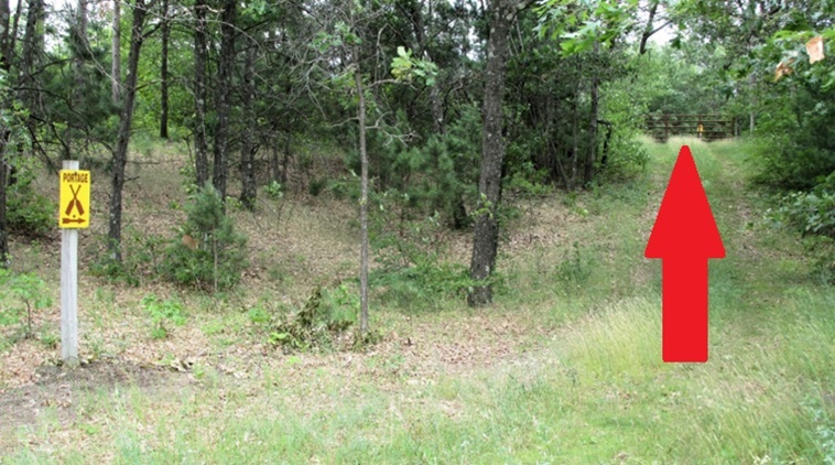
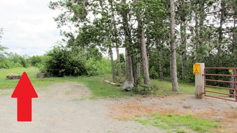
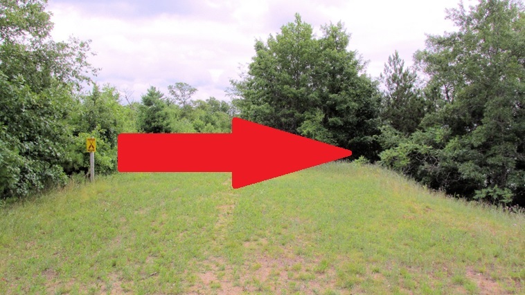
Portage: The portage is on the left side of the bank facing downstream
Portage Length: 1320 feet


Portage County
Wisconsin River
Portage Take Out
Launch Coordinates D°M’S”: 44°40’00.4″N 89°38’56.7″W
Launch Coordinates Degrees: 44.666764, -89.649075
4248 Park Rd, Mosinee Wisconsin 54455
Click For Google Map
Lake DuBay Dam


Note: This is a slope down to the river.
Portage County
Wisconsin River
Portage Put In
Launch Coordinates D°M’S”: 44°39’52.3″N 89°38’53.9″W
Launch Coordinates Degrees: 44.664520, -89.648304
4248 Park Rd, Mosinee Wisconsin 54455
Click For Google Map
|
Landing Amenities |
|||||||
|
Restrooms |
No |
Tables |
No |
Water |
No |
Dock |
No |
|
Parking |
No |
Benches |
No |
Trash |
No |
Handicap |
No |
|
Picnic Area |
No |
Playground |
No |
Fishing |
No |
Camping |
No |
|
Grills |
No |
Shelter |
No |
Landing |
No |
Showers |
No |


![]()